
A few local pointers
New streets beside rail, park and creek systems
A station-side apartment garage, an active building lot and an older rural shed are three different Schofields calls. First Ponds Creek and water-sensitive drainage shape open space through the growth area, while Schofields Park provides a well-known public landmark. Precise access keeps a response from turning into a search across unfinished land or drainage vegetation.
VERIFIED LOCAL DETAIL
Why Schofields needs its own field note
First Ponds Creek runs through the growth area
Planning for Riverstone and the Alex Avenue precinct uses First Ponds Creek as a major landscape and drainage corridor. Keep to formed public access and never enter the corridor after a sighting.
NSW Planning — Riverstone and Alex Avenue precincts ↗Schofields Park is a specific public landmark
Blacktown City records improvements to paths, landscaping and open space at Schofields Park. A caller should provide the path, field, car-park or street edge and keep park users well away.
Blacktown City Council — Schofields Park ↗Construction access must be controlled
Stop work in the immediate area, leave pallets, pipes and temporary barriers still, and nominate a supervisor with the correct site induction and gate. Do not send workers around the lot to search.
PET EMERGENCY CONTACTS
Pet bite concern in Schofields? Do not wait for certainty
You do not need a confirmed species identification before calling a vet. Tell the team what happened, when the pet was last seen near the snake and any changes in behaviour or movement.
Watch safely, or not at all
Keep residents, trades and vehicles out of the immediate zone. Do not move site material, enter rail land, cross temporary fencing or step into creek and drainage vegetation. From a building, use glass or CCTV only if it is already safely available.
Do not touch, trap, corner or try to kill the snake. Bring children and pets away and call a trained reptile handler.
The likely habitat mix Schofields
Wet drainage and creek margins may suit red-bellied black snakes; open or disturbed ground can suit eastern brown snakes; sunny garden and woodland edges may suit yellow-faced whip snakes. New development does not make species identification possible from location alone.
Red-bellied black snake
Often associated with wetter habitat such as creeks, drains, wetlands and dam margins.
Do not use this as an ID: The red or pink flank may be hidden from view, especially from above.
Australian Museum species guide ↗Eastern brown snake
May use open ground, grass margins, disturbed land and places where rodents are active.
Do not use this as an ID: Colour varies widely; a brown or grey snake cannot be identified safely by colour.
Australian Museum species guide ↗Yellow-faced whip snake
A fast, slender daytime snake that may occur in open woodland, gardens and suburban edges.
Do not use this as an ID: It is frequently mistaken for a juvenile eastern brown snake; do not rely on a quick glance.
Australian Museum species guide ↗These are habitat-based possibilities for the wider district, not a claim that any species is common on a particular Schofields property. The Sydney snake identification guide explains the limits of visual identification.
a snake in an apartment basement, garage, courtyard or station-side business
a sighting beside temporary fencing, building materials or a new-estate reserve
movement near First Ponds Creek, Schofields Park or an older acreage boundary
LOCAL VISUAL / REGIONAL CONTEXT
Landscape evidence
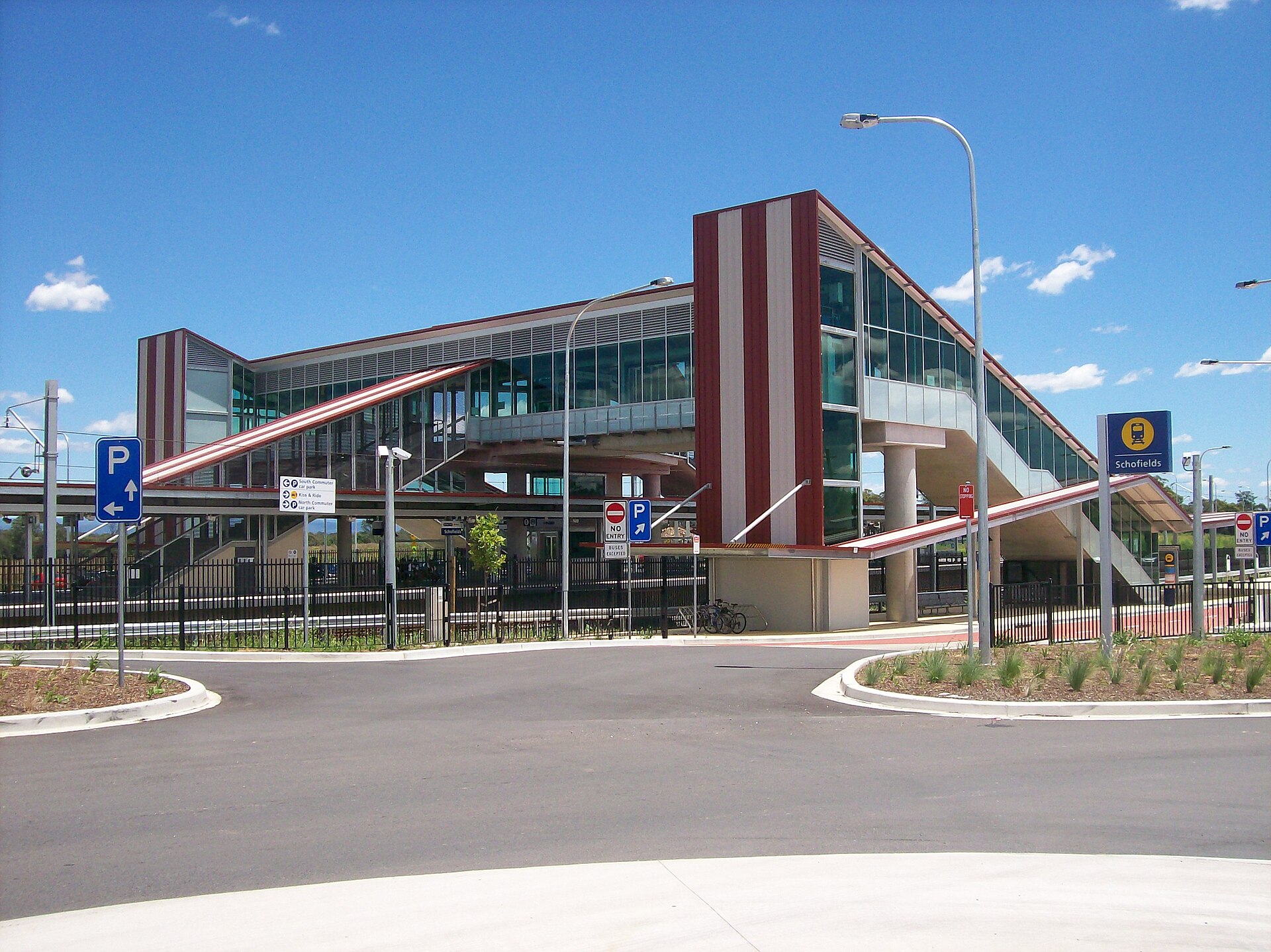
Schofields railway station — a genuine local landmark, not evidence of snake activity near the station.
Photo: Abesty; resized and cropped for web / Wikimedia Commons ↗ · CC BY-SA 3.0 ↗. Cropped for display.
Schofields map: use this to check the wider road, reserve and waterway pattern—not to approach a snake. Provider attribution appears inside the map.
Practical changes, not promises
Repair door and garage seals, keep bin and service areas orderly and lift building or garden materials off the ground once the immediate risk has passed. Use approved landscaping and leave public drainage and creek vegetation intact.
No property can be completely snake-proof. The practical aim is better visibility, fewer hiding places and less food for rodents, without harming native wildlife.
Helping us find you
Give the registered street and house, unit or lot number, then name the estate stage, basement level or site gate. Around Schofields Park, give the public street edge, path or field rather than asking anyone to search the entire reserve.
Let us know whether the snake is inside or outside, whether a gate or door is locked and whether animals are still on the property.
What we need to know
We will ask where the snake was last seen, what sort of property it is and the safest place to meet you. An existing photo can be useful, but nobody should move closer to take one. Once we know the situation, we can give you an honest indication of availability and travel time.
PET SAFETY / DETAILS CHECKED 28 AUGUST 2026
A number to save for pets
Use Vineyard Veterinary Hospital as the researched general clinic reference for Schofields. If it is closed, unavailable or the case is immediately critical, the page also lists VECA Norwest as a 24/7 emergency option.
The hospital states that emergency walk-ins are accepted 24/7.
Serves the Hawkesbury and Hills area; call ahead.
The local clinic choice is based on a suburb-centre reference point. Opening hours and travel conditions change, which is why every number is presented as a phone-first option rather than a fixed route instruction.
Independent contact information only. Snake Catcher Sydney Wide is not affiliated with these veterinary providers. In a life-threatening pet emergency, follow the veterinary team's instructions immediately.
Call 000 immediately. Keep the person still and calm, apply a pressure immobilisation bandage, and do not wash, cut or suck the bite. Follow the emergency operator and Healthdirect guidance ↗.
Straight answers
Answers for Schofields
What if a snake moves from a Schofields lot into drainage vegetation?
Do not follow it across a fence, swale or creek edge. Note the last fixed lot marker or drainage structure from the occupied side and explain whether people still need to use that area.
Do I need pest control or a snake catcher?
If you are searching for pest control or pest removal because you have found a snake, contact a licensed snake catcher directly. A pest-control business that does not provide licensed snake handling may need to refer your call, adding a step and potentially delaying arrangements. Some pest controllers also offer licensed snake catching; ask whether they can arrange an appropriately licensed handler. Keep people and pets away and call Snake Catcher Sydney Wide to confirm the fee, availability and estimated arrival.
Do you take workplace calls in Schofields?
Yes. Stop activity in the immediate area, keep staff and customers away, and nominate one person to meet the catcher.
Why do access details matter?
They prevent delays and help plan a safe approach. Give the registered street and house, unit or lot number, then name the estate stage, basement level or site gate. Around Schofields Park, give the public street edge, path or field rather than asking anyone to search the entire reserve.
The local background comes from Blacktown City Council — Schofields Park ↗, with snake safety checked against NSW Environment guidance ↗. The embedded public map is used to confirm the suburb, roads and named landscape reference. Habitat can vary from street to street, so we do not claim that a particular species is common at any address.